Your Basket is Empty


Perhaps difficult to imagine now but there was a time in Britain when there was no such thing as motorways, SatNav, or drive-through coffee shops, and the sparsely populated roads were little more than the equivalent of today’s ‘B’ roads. A family-holiday trip from the industrialised north, or Midlands, to the beaches of Cornwall was a serious undertaking that required meticulous planning and at least two picnics! This hand-picked collection from the map section of Country House Library will provide hours of nostalgic reflection on a long-lost era of travel and tourism.

The Bartholomew cartography business started life in 1797 in Edinburgh and continued through five generations, until 1989. They managed a prolific output and variety of maps and atlases for academic, commercial and travel purposes, including the popular 62-sheet Half-Inch to One Mile map series of Great Britain. John Bartholomew (son of the founder, John, senior) invented the hypsometric system of colour tinting contours on a map – high areas in brown, lower areas in green, which is now standard cartographical practice. The map-lovers at Country House Library have selected this one of Scotland of Old, but we recommend you peruse the whole vintage collection here - perfect for picture-framing or absorbing historical study.

Encompassing historical towns and cities from Oxford in the south, to Birmingham in the north, and the archetypal English countryside in-between, this guide from Collins, 5th in their 1950’s About Britain series, was written by the notable local historian W. G. Hoskins CBE (1908-92) who opened the first university department on English Local History. His magnus opus, the 1955 publication The Making of the English Landscape remains to this day one of the leading texts in the discipline.

Founded in 1935 by brothers Allen, Richard and John Lane, Penguin revolutionised the rather ‘stuffy’ pre-war world of publishing, with their inexpensive paperbacks sold through ordinary high street retailers such as Woolworths, for never more than sixpence. Published in 1949 as part of their Penguin Guide series and written by expert of the English Eastern counties, The Reverend Claude Messant, this issue covers Suffolk and Cambridgeshire in absorbing detail.

This attractive and rare guide from 1881 follows the Cambrian railway from “Dee to Sea”, from the English border town of Shrewsbury, westwards to Aberystwyth and Pwllhelli in Wales. Wonderfully patterned and illustrated throughout with pull out maps and a pull-out endpaper of Tenby, from the North Cliff. This is a real collector’s piece – the perfect treat for lovers of railways, Wales, or simply of fine antique books.

Geographia was a London based cartographic publishing company, in operation from 1910 to 1985, and started by Alexander Gross, a Hungarian immigrant to the UK. The company specialised in folding pocket maps and globes, many drawn by a rather mysterious ‘Mr Fountain’ about which very little is known. Following financial problems in the 1940’s the company relocated to New York in the US where the Gross’s went on to publish a large body of US based maps and city plans. Gross’s daughter, Phyllis (Pearsall), 1906-96, founded the A-Z map company in London, which went on to be the largest map publisher in the UK.
This 1923 issue of the West of England and South Wales, printed on cloth, is a wonderful glimpse back in time to one of Britain’s most beautiful regions. Outstanding value at less than £20!

Britain’s mapping agency, the ‘Ordnance Survey’ has its roots in military strategy: mapping the Scottish Highlands following rebellion in 1745. Later, as the French Revolution rumbled on the other side of the English Channel, there were real fears the bloodshed might sweep across to our shores, so the government ordered its defence ministry of the time – the Board of Ordnance – to begin a survey of England’s vulnerable southern coasts. It was an innovative young engineer called William Roy who was tasked with the initial small-scale military survey of Scotland. Starting in 1747, it took eight years to complete what was known as the Great Map at a scale of 1:36 000 (1.75 inches to a mile). Roads, hills, rivers, types of land cover and settlements were recorded. Fast forward almost 250 years and the modern Ordnance Survey still produce these amazing guides to the British Isles. This one of the Bolton and Manchester area from 1929 is a fascinating look back at a Lancashire of old.

With a history going back to London in 1854, Ebenezer Ward and George Lock founded one of the most successful family-owned publishers in the UK, bringing out first works from the likes of Arthur Conan-Doyle, Mrs Beeton’s Cookbooks and Oscar Wilde. Responding to the growth of railway and the British new-found love for travel, Ward, Lock and Bowden (as it was by then) introduced their series of guides books in 1896. They were priced at one shilling and by 1954, some 136 Ward Lock Red Guides, had been published. With pictures and detailed descriptions of the area, written by leading guidebook specialist J. B. Baddeley, this outstanding issue covers one of Britain’s oldest and favourite tourist destinations – The Lake District.

On Country House Library’s home turf, the Cotswolds are up there with the Lake District as one of Britain’s favourite tourist destinations. Stretching from the historic Roman town of Cirencester in the south and, in the north, the centre of the 18th century Cotswolds wool trade, Chipping Campden (from “sheeping”), the honey-coloured stone built villages, and rolling hills of the countryside, epitomises bucolic England. Published long before SatNavs, this motorist’s guide will be treasured by lovers of the Cotswolds, vintage maps, and the more leisurely days of the country road.
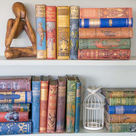
Covering all four corners of Great Britain, from the Highlands of Scotland to the rolling hills of the West Country. From the fens of the Eastern Counties to the beaches of West Wales, these vintage maps and guidebooks have something for every traveller, whether covering the miles in their preferred mode of transport or settled in their favourite armchair.
Comments will be approved before showing up.


ADD YOUR CHOOSEN BOOKMARK TO YOUR BASKET. DISCOUNT APPLIED WHEN YOU CHECKOUT